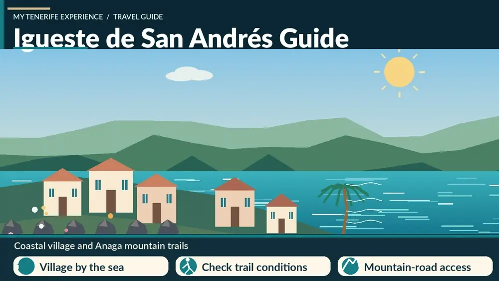
Igueste de San Andrés is a small coastal village that I would visit for the relationship between sea, ravine and mountain paths rather than for conventional sightseeing. It lies beyond San Andrés on the eastern edge of Anaga, close enough to Santa Cruz for a half-day but remote enough to feel very different from the capital.
Two official routes give Igueste special importance for walkers. PR-TF 5 arrives from Chamorga, while PR-TF 5.1 climbs from Igueste toward El Semáforo. Turismo de Tenerife lists the El Semáforo route as about 2.2 km, roughly one hour, low difficulty, with around 347 metres of ascent. That is a useful reminder that “short” does not mean flat.
Quick planning facts
| Area | Igueste de San Andrés, Santa Cruz de Tenerife |
|---|---|
| Setting | Coastal village at the edge of Anaga |
| Key short trail | PR-TF 5.1 to El Semáforo |
| Distance | About 2.2 km one way |
| Official time | About 1 hour |
| Difficulty | Low |
| Ascent | About 347 m |
| Best for | Views, short hike, local village atmosphere, Anaga access |
Why I include Igueste in an Anaga itinerary
Igueste offers something different from forest-centred Anaga. Here the sea is always part of the geography, and the village sits beneath steep slopes that make even a short walk feel dramatic. It works well for travellers who want a taste of Anaga without driving all the way to the remote northern hamlets.
I often think of it together with San Andrés and Las Teresitas. The three places create an easy progression from beach and fishing-village atmosphere to a more rugged coastal settlement.
Walking to El Semáforo
PR-TF 5.1 begins in Igueste and climbs toward El Semáforo on a path that the official description says is largely cut into the rock. The distance is short, but almost 350 metres of ascent is significant over 2.2 km. I pace the climb and avoid comparing it with a flat coastal walk.
The route is listed as low difficulty, yet heat and sun exposure can make it harder. I carry water, wear proper shoes and turn around if conditions become uncomfortable. The return adds more time and effort than the one-way figure suggests.
Connection with Chamorga
Igueste is also the endpoint of PR-TF 5 from Chamorga. That creates a useful long-distance option for experienced walkers, but it introduces transport complexity because the route is linear. My Chamorga guide explains how I plan that crossing.
I do not combine the Chamorga route and the El Semáforo climb on the same day unless I have a very specific reason. More kilometres are not automatically a better experience, especially in Anaga where elevation and road logistics already make days long.
The village itself
Igueste is residential and small. I walk quietly, look at the way houses follow the ravine and slopes, and avoid treating private stairways or terraces as viewpoints. The village is part of the attraction precisely because it still feels lived-in rather than curated for visitors.
I plan for limited services. If I need a guaranteed meal, I eat in San Andrés or Santa Cruz before or after the visit rather than expecting a specific village business to be open.
Road and parking
The approach beyond San Andrés is narrower and more winding than the main urban roads. I drive slowly and leave room for buses and residents. Parking space can be constrained, so I arrive with a backup plan and never block the turning space or access of local homes.
If the village feels busy, I would rather change the order of the day than force a parking solution. Anaga road etiquette is one of the easiest ways to reduce friction between visitors and residents.
Bus access
Igueste can be more practical by bus than some remote Anaga hamlets because it is connected to the Santa Cruz/San Andrés side. I still check the current TITSA schedule, especially if a hike will determine when I return.
The Tenerife bus guide explains cards, passes and how I handle rural timetable gaps. For a linear Chamorga hike, I treat the bus as part of the route plan, not as an optional detail.
Weather, sun and exposure
Igueste can feel sunnier and drier than the cloud forest around Cruz del Carmen, but the surrounding slopes still create local weather effects. On exposed paths I protect myself from sun even when a breeze makes the temperature feel comfortable.
After rain, rock-cut paths can be slippery. I check official trail status and do not assume that “low difficulty” means all-weather. The terrain is still mountain terrain beside the ocean.
Playa de Antequera connection
Igueste is also associated with remote Playa de Antequera, which can be reached by difficult hiking routes or by sea. I keep that as a separate adventure because it requires more planning than a village-and-El Semáforo day. My Playa de Antequera guide explains why boat access is often the simpler choice.
Trying to combine every nearby trail usually creates a rushed itinerary. I prefer one primary walk and one secondary coastal stop.
A realistic half-day plan
- Start with coffee or supplies in San Andrés.
- Drive or take the bus to Igueste de San Andrés.
- Walk PR-TF 5.1 toward El Semáforo if weather and trail status are suitable.
- Return to the village with enough time to avoid rushing.
- Finish at Las Teresitas or in Santa Cruz for food.
This plan works especially well outside the hottest part of the day. If I am visiting in summer, I would consider an early start.
Where I would stay
Santa Cruz is the most practical base if I want repeated trips to San Andrés, Igueste and eastern Anaga. I can compare Santa Cruz accommodation on Booking.com.
La Laguna is better if I want to mix eastern and high-ridge Anaga. The choice depends on whether my itinerary is more coastal or more focused on forest and mountain roads.

Official route information
I use the official PR-TF 5.1 page for the route statistics and safety advice. It specifically recommends checking trail status before walking.
I also review the weather and daylight. A short trail is still not the place to be caught without light, water or suitable shoes.
Mistakes I would avoid
- Calling the El Semáforo walk flat because it is only 2.2 km.
- Parking in a way that blocks residents or buses.
- Assuming services will be open whenever I arrive.
- Combining too many Anaga trails in one day.
- Walking after rain without considering slippery rock.
Igueste works best when I keep the plan simple: village, one good walk and a nearby coastal or city stop.
Frequently asked questions
Is Igueste de San Andrés inside Anaga?
Yes. It sits on the coastal side of the Anaga massif within the municipality of Santa Cruz de Tenerife.
How long is the El Semáforo walk?
The official PR-TF 5.1 route is about 2.2 km one way with an estimated time of around one hour.
Is the trail flat?
No. The official data shows about 347 metres of ascent, so it is a real climb despite the short distance.
Can I reach Igueste by bus?
Yes, but I always check current TITSA timetables before planning a hike around the service.
Can I combine Igueste with Las Teresitas?
Yes. That is one of the easiest and most logical combinations for a half-day on the Santa Cruz side of Anaga.
How I decide whether this fits my itinerary
Before adding Igueste de San Andrés Tenerife to a Tenerife plan, I ask what role it plays in the day. If it is the main experience, I leave enough time for weather, transport and an unhurried visit. If it is a secondary stop, I keep expectations smaller and avoid turning a flexible day into a chain of deadlines. This distinction sounds simple, but it is one of the most useful ways I have found to plan an island with mountain roads and very different microclimates.
I also compare travel time with time actually spent at the destination. A place can look close on the map and still require slow roads, parking searches or bus connections. I would rather visit two places properly than spend the day moving between five. This is especially true in Anaga, Teno and the north coast, where the journey is often part of the experience.
My practical backup plan
I always choose a nearby alternative before leaving accommodation. If the sea is rough, I switch from swimming to a town, market or viewpoint. If cloud removes a mountain panorama, I walk in the forest or move to a different elevation. If parking is full, I do not wait indefinitely; I continue to the backup stop and return later only if it still makes sense.
That flexibility is not a compromise. In Tenerife it is often the difference between a stressful day and a memorable one. The island is compact enough that several different landscapes may be available within the same region, so changing the plan does not mean losing the day.
Responsible travel notes
I treat small villages, beaches and natural areas as shared local spaces. I use legal parking, keep noise low near homes, stay on marked paths, take rubbish away and follow temporary closures even when other people ignore them. On the coast I avoid climbing barriers for photographs, and in protected landscapes I do not collect plants, rocks or other natural material.
I also try to spend some money locally when it is appropriate: a coffee, lunch, market purchase or small shop can make a visit more connected to the community. Responsible travel is not about making a performance of being perfect; it is mostly a series of ordinary decisions that reduce pressure on places I want to remain enjoyable.
My final take
Igueste de San Andrés is a small place, but it connects several layers of Tenerife: local village life, exposed coastal mountains and historic walking paths. I would choose it when I want an Anaga experience that feels adventurous without committing to the longest remote-road day. The El Semáforo climb gives the visit a clear purpose, while San Andrés and Las Teresitas keep the overall day flexible.