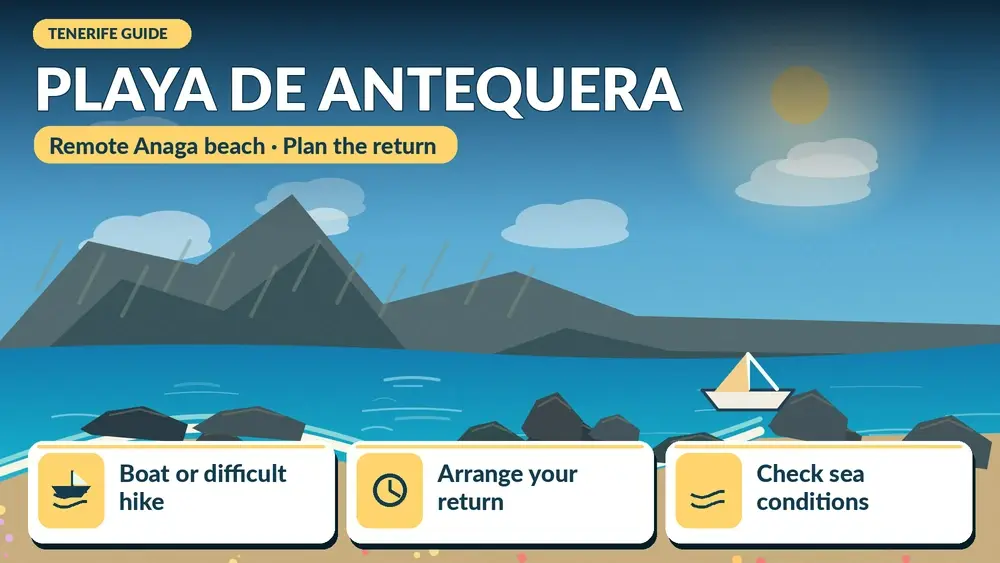
Playa de Antequera is one of those Tenerife beaches where the journey is part of the experience. There is no normal road-and-car-park arrival. Official Tenerife tourism information says the beach is reached either by a difficult hiking route or by sea, and that boat excursions are the easier option for most visitors.
That remoteness is exactly why I would not treat Antequera like a spontaneous beach stop. I plan transport, tides, water, sun protection and the return before setting out. The reward is a quiet grey-black beach beneath the cliffs of Anaga, with a sense of isolation that is rare on a popular holiday island.
What makes Antequera special
The beach sits below the eastern Anaga cliffs, far from resort infrastructure. Official information gives a length of around 400 metres and notes that at high tide the sea can cover much of the sand. That means timing matters not just for comfort but for how much beach actually exists when I arrive.
The appeal is landscape and remoteness rather than services. There are no normal facilities, no car park and no bus stop at the beach. I carry out everything I bring in and assume I will need to be self-sufficient for the duration of the visit.
Boat or hike: which way would I choose?
For most travellers, I would choose a legitimate boat service from the Santa Cruz or San Andrés area when available. The official tourism page explicitly describes the hiking access as difficult and requiring good physical condition and experience. That is enough for me to reject the idea of recommending the trail casually to every reader.
A boat also reduces the risk of underestimating Anaga terrain. However, sea conditions can cancel or modify trips, so I keep the day flexible and confirm departure details directly with the operator.
Why I would be cautious with the hiking route
Remote Anaga routes combine steep ground, exposure, heat or humidity, limited shade and sections where a wrong turn can be serious. Even if a GPX track exists online, I do not assume it represents current trail status. I check official information and only attempt the route if it matches my real experience level.
If I want a scenic but more manageable Anaga walk, I would rather choose a signed route around Cruz del Carmen or another established trail. My best hikes in Tenerife guide gives alternatives across difficulty levels.
Tides change the beach
The official tourism description specifically says Antequera is best appreciated at low tide because high tide can cover the beach. I therefore check a reliable tide table for the exact date and understand that wave conditions still matter. Low tide does not automatically mean calm water.
Swimming
I do not arrive with the assumption that I must swim. A remote beach without lifeguards or easy road access deserves extra caution. If the sea is rough, if I am alone, or if entry and exit look uncertain, I stay on land. Remote beauty is not worth turning a day trip into an emergency.
What I bring
- More water than I expect to need.
- Sun protection and a hat.
- Food or snacks because there are no services.
- Secure footwear if any walking is involved.
- A dry bag for electronics on a boat transfer.
- A charged phone, while accepting that signal may be limited.
- A small rubbish bag so nothing is left behind.
Nudism and beach etiquette
Official tourism information notes that nudism is common at Antequera. I treat that simply as part of the beach culture: I give people space, avoid intrusive photography and do not behave as if other visitors are part of the scenery.
How I would build the day
If travelling by boat, I would base the day around the confirmed departure and return rather than adding too many activities. San Andrés and Las Teresitas make natural before-or-after stops. My San Andrés guide is useful for food and local context.
If the boat is cancelled, I would switch to Las Teresitas, a walk in Anaga or Santa Cruz instead of trying to improvise a difficult hike at the last minute.
Who Antequera is for
I recommend it to travellers who value remote landscapes, are comfortable with limited facilities and understand that access can depend on weather and logistics. It is not my first choice for families needing easy facilities, travellers with reduced mobility or anyone who wants a simple beach day.
Environmental responsibility
A remote beach stays special only if visitors behave lightly. I take all rubbish away, avoid disturbing wildlife and do not leave food scraps. I also avoid creating cairns or moving stones for photographs. Small interventions become visible when many visitors repeat them.
Common mistakes
- Treating the hiking route as an ordinary beach path.
- Ignoring tide timing.
- Relying on phone signal for navigation.
- Arriving without enough water.
- Booking another fixed activity immediately after a weather-dependent boat trip.
- Assuming no lifeguard means the sea is harmless because the beach is quiet.
Frequently asked questions
Can I drive to Playa de Antequera?
No normal road reaches the beach. Official tourism information lists access on foot via a difficult trail or by boat.
Is the hike easy?
No. The official description specifically characterises the trail access as difficult and suitable for people with good fitness and experience.
Is there food or a beach bar?
No. I plan to be fully self-sufficient.
Does high tide matter?
Yes. Much of the sand can disappear at high tide, so I check tide timing before the trip.
My final take
Antequera is not a convenience beach, and that is the point. I would visit only with a clear access plan, sensible sea judgement and enough time to enjoy the isolation. Done responsibly, it offers one of Tenerife’s strongest feelings of arriving somewhere genuinely remote.
How I read an exposed beach
Before putting down my bag, I spend time watching the sea. I look for where waves are breaking, whether water is moving sideways along the shore and whether swimmers are struggling to return to the same place. I also check flags and local warnings. Ten quiet minutes of observation tell me more than a photograph taken on a different day.
What I keep in the car
For remote-coast days I keep spare water, dry clothes, a light layer and shoes that can handle steps or rough ground. I also keep a simple backup plan: another beach, a village meal or a viewpoint. That prevents me from forcing a swim when the Atlantic conditions are not suitable.
How I choose whether to swim
I make the decision only after I arrive. Photos, forecasts and even yesterday’s conditions are not enough. I compare wave size, current, flags, local behaviour and my own swimming ability. If I feel uncertain, I switch the goal of the visit from swimming to walking, photography or lunch nearby. That is not a failed beach day; it is a sensible response to an ocean that changes constantly.
Sun, shade and hydration
Exposed beaches can feel cooler because of wind while the sun is still strong. I use sunscreen, reapply it and drink water even when I am not sweating heavily. On beaches with little natural shade, I avoid spending the entire middle of the day in direct sun. A short break in a café or village can make the second half of the visit much more comfortable.
Leaving the coast safely
I keep enough energy for the return to the road or car, especially where stairs or rough paths separate the beach from parking. Wet feet and sand make steps more tiring than they looked on arrival. If sunset is part of the plan, I know exactly how long the climb back takes and carry a small light rather than relying on a phone battery.
A final planning check before I leave
The evening before this day, I verify the weather, current access information, transport, opening details where relevant and the amount of daylight I have. I save essential information offline and tell someone in my group what the main plan is. I also decide in advance what would make me switch to the backup plan. That small amount of preparation lets me enjoy Tenerife more spontaneously once I am actually there, because the important risks and logistics have already been considered.
Why I prefer a slower itinerary
Tenerife rewards time. Distances can look short on a map while mountain roads, parking, viewpoints and meals make the real day much longer. I therefore leave unscheduled space instead of treating every hour as an appointment. That gives me room to stop at an unexpected viewpoint, wait for cloud to clear, spend longer over lunch or simply leave early if conditions are not right. In practice, the slower version usually produces better memories and fewer transport mistakes.
Practical details I confirm on the day
Before leaving my accommodation I recheck the latest official information that could affect the plan: weather, road conditions, trail or beach access, public-transport times and any temporary restrictions. Tenerife changes quickly between coast, forest and high mountains, so yesterday’s conditions are not enough. I also make sure the phone is charged, essential addresses are saved offline and everyone in the group knows the backup plan. If the main activity depends on sea state, cloud, wind or a connection, I keep one nearby alternative that does not require a complicated detour. This simple routine helps me avoid turning a small change into a stressful day and makes the itinerary more resilient without removing spontaneity.