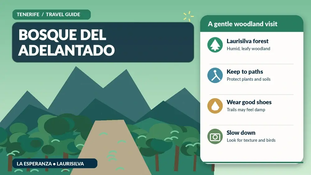
The Bosque del Adelantado is a small remnant of laurisilva beside La Esperanza, and that scale is exactly why I find it useful. You do not need to commit to a full Anaga day to experience a pocket of humid Canarian woodland. Official tourism information gives the forest an area of 25,397 square metres and places it between roughly 850 and 875 metres above sea level. It survived historic timber exploitation and grazing in part because its ravine location offered protection.
At a glance
| Place | La Esperanza, El Rosario |
|---|---|
| Address / access | Near Calle Pedro Juan García Hernández, 38290 El Rosario |
| Best for | A short laurisilva stop, families and a green break near La Esperanza |
| Time to allow | 30–60 minutes for an easy visit; longer if linked to surrounding walks |
| Planning rule | Check current access/conditions and group nearby places rather than crossing the island for one small stop |
Why this place deserves its own page
I would not present this forest as a substitute for Anaga or Monte del Agua. Its value is different: it is accessible from a town, compact enough for a short stop and directly connected to the historical landscape of El Rosario. That makes it ideal on a mixed day with La Esperanza, the TF-24 or the metropolitan area.
History and context: what the official record confirms
The forest lies very close to the historic centre of La Esperanza.
Official tourism information describes it as a small surviving area of laurisilva in a ravine.
Its location helped it survive the timber extraction and livestock pressure that affected El Rosario after the conquest.
The documented area is 25,397 square metres.
Its altitude is approximately 850–875 metres above sea level.
The official access reference is around Calle Pedro Juan García Hernández in El Rosario.
What I would pay attention to
Think of it as a remnant, not a wilderness expedition
The most interesting idea here is survival. A small ravine held onto humid-forest vegetation while surrounding land use changed. I walk slowly and look for the difference in shade, leaf texture and moisture rather than expecting dramatic viewpoints.
Why the ravine matters
Topography can create microclimates and refuges. In this case, the ravine also made intensive exploitation less straightforward. The result is a pocket of vegetation that helps explain what parts of the island’s northern slopes looked like before centuries of land-use change.
Combine it with La Esperanza rather than making a special cross-island drive
Because the forest is close to town, the best plan is a compact circuit: church and streets first, then the woodland, or the reverse. That produces a more balanced visit than driving a long distance for a single small green space.
Expect cloud to be part of the experience
At this elevation, mist and low cloud can be normal. I do not treat that automatically as poor weather; moisture is part of why this vegetation exists. I do, however, change plans if wind, heavy rain or official warnings make conditions unsafe.
How I would build it into a Tenerife day
I would build the day around one geographical area and one main outdoor objective. Tenerife’s road map can make places look close even when elevation changes, mountain roads and parking add considerable time. A short walk is more enjoyable when I am not watching the clock for a reservation on the opposite side of the island.
For a mixed itinerary, I add one nearby village or cultural stop before or after the walk. That creates contrast without turning the day into a chain of car journeys. If weather changes, the cultural stop can also become the fallback plan.
Safety and responsible planning
Tenerife’s short-looking walks can be deceptive because volcanic ground, steep gradients, cloud, heat and wind all change the effort required. I check the official trail page and weather before leaving, carry more water than I expect to need, and use proper footwear rather than relying on distance alone as a measure of difficulty.
If an official authority closes a trail or section, I treat that as a hard stop. Detours around barriers can enter fragile habitat, private land or unstable terrain. I also download the route or keep an offline map because mobile coverage can vary in ravines and forested areas.
What to bring
My minimum kit is supportive footwear, water, sun protection, a light insulating layer and a charged phone. For longer walks I add food, a compact rain shell and a small first-aid kit. Cloud in the north can make the air feel cool while ultraviolet exposure remains strong, so sunscreen still matters.
Walking with children
I judge a family walk by terrain, exposure and the return logistics, not only by kilometres. A linear route needs a transport plan at the end, and a steep descent can be harder on knees and concentration than a gentle climb. With younger children I choose a shorter section or use the place as a nature stop rather than forcing completion of the full route.
Leave the landscape as you found it
I stay on established paths, carry out all rubbish and avoid collecting plants, rocks or archaeological material. In rural areas, gates and tracks may serve farms and residents; I leave access clear and respect signs even when a shortcut looks obvious.
Nearby guides to keep open
- El Rosario Tenerife guide
- Nuestra Señora de La Esperanza guide
- Anaga Rural Park guide
- Teide National Park guide
Where to stay nearby
If this area is more than a day trip, I compare accommodation in the same municipality or nearby north/west base rather than automatically returning to the southern resorts. Staying locally can make early walks and evening village time much easier. Check accommodation around La Esperanza on Booking.com.
Practical checklist before you go
- Check the latest official access, trail or municipal information on the day of travel.
- Use legal parking and avoid blocking residents, farm tracks, gates or emergency access.
- Carry water and sun protection even when the north of Tenerife is cloudy.
- Use footwear suited to the actual surface, especially after rain.
- Keep the plan geographically compact so a closure does not ruin the whole day.
- Respect religious services, private property, barriers and conservation signs.
Frequently asked questions
How large is Bosque del Adelantado?
Official tourism information gives an area of 25,397 square metres.
What altitude is it at?
Approximately 850–875 metres above sea level.
Is this the same experience as hiking in Anaga?
No. It is much smaller and more urban-adjacent. I see it as a short laurisilva stop, not a replacement for an Anaga hiking day.
How much time do I need?
For a relaxed short visit, around 30–60 minutes is usually enough, depending on the path section you choose and conditions.
Can I visit with children?
It can work well for families if the chosen path is suitable that day. After rain, roots and damp surfaces can be slippery, so footwear and supervision matter.
What should I combine it with?
La Esperanza’s church, the wider El Rosario guide and a carefully planned TF-24/Teide day all fit geographically.
Official information
For the documented historical or route details used in this guide, see the official Tenerife or municipal information page. I always re-check the source shortly before travelling because access, events and trail conditions can change.
Final thoughts
This is the kind of Tenerife experience that works best when the route itself is the point. I would rather walk slowly, understand the landscape and finish with enough daylight and energy than chase a distance target. Combined with one nearby town or heritage stop, it adds depth to an island itinerary without competing with Teide, Anaga or the major beaches.